
A tropical disturbance in the Gulf is becoming a little more organized, and the National Hurricane Center says tropical development is becoming more likely as we progress through this week.
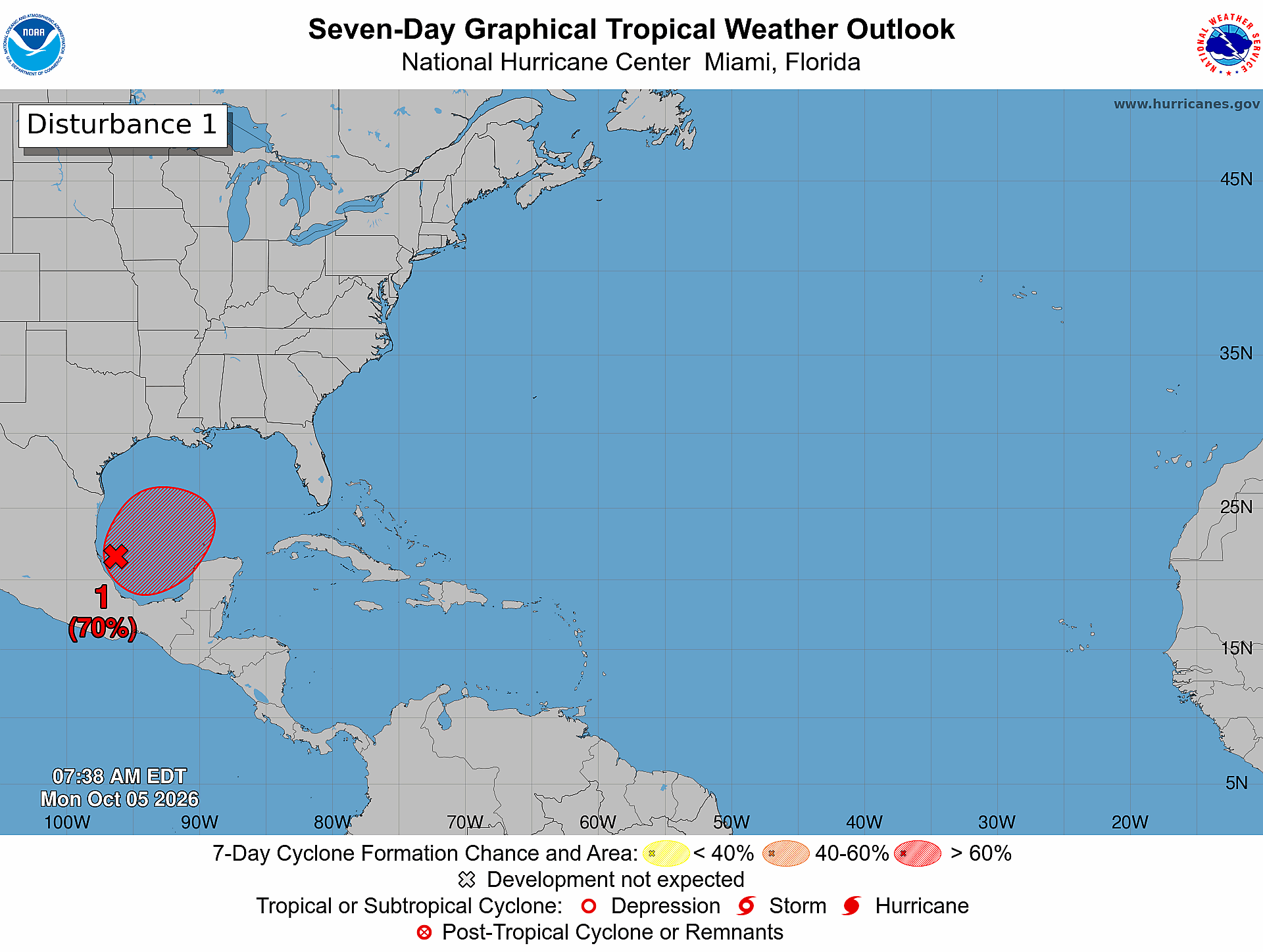
As of Monday morning, October 5, a trough of low pressure is producing disorganized showers and thunderstorms over the southwestern Gulf. Conditions are only marginally favorable for development right now, but that could change as the system moves over very warm Gulf waters in the coming days.
The National Hurricane Center gives the system a 30% chance of formation over the next 48 hours and a 70% chance over the next seven days.
We may see a tropical depression form as early as the middle of this week.
What happens next?
The system is expected to drift eastward over the next few days before eventually turning northward.
That track will be important to watch as we get a better idea of how much the system develops and where it ultimately goes.
It’s still too early to know whether this system will have any direct impacts on the northern Gulf Coast, including coastal Alabama and the Mississippi Gulf Coast.
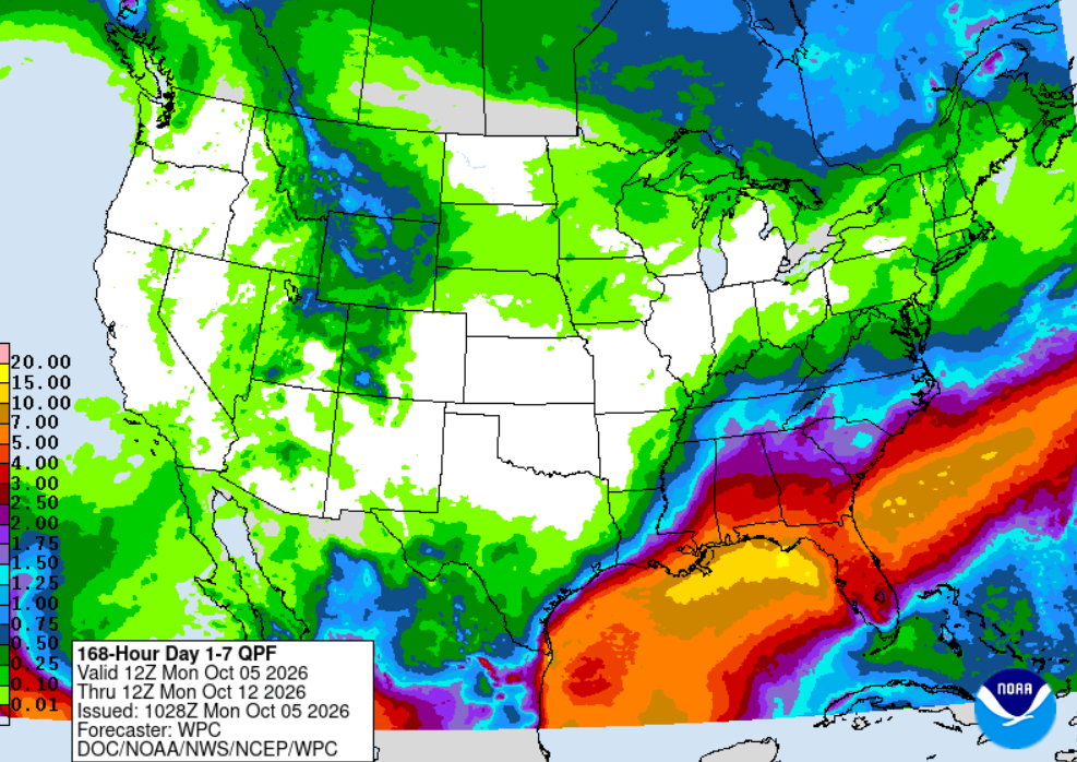
However, if you have interests anywhere from Louisiana to Florida, pay attention to the forecast. With elevated wind shear, this could become a serious rainmaker wherever it moves on shore.
Even if the system does not become a tropical storm or hurricane, tropical moisture can still contribute to an increase in showers, thunderstorms and locally heavy rain.
We’ll continue watching the system as it develops and will update the forecast as there is more confidence in its track and potential impacts.