
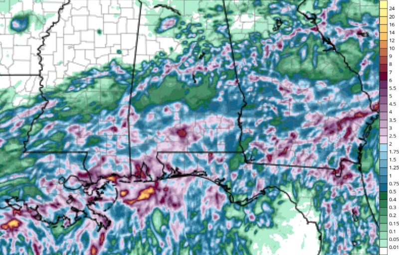
It’s been a soggy Saturday for parts of the area, and the threat of more heavy rain in Coastal Alabama continues through Sunday. Multiple rounds of rain are expected through at least Sunday afternoon, with another 4 to 6 inches of rain possible.
Heavy Rain Could Lead to Flooding
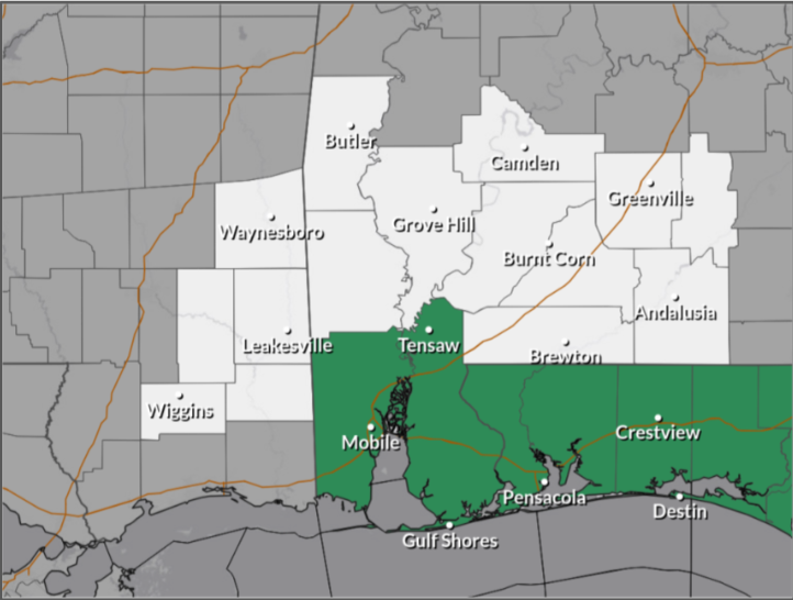
A Flood Watch remains in effect through Sunday evening for Mobile and Baldwin Counties in southwest Alabama.
The biggest concern is the repeated rounds of heavy rain. Areas that pick up several inches could see water build up quickly, especially in low-lying and poorly draining areas.
Some locations could see a break between rounds of rain tonight, but that doesn’t necessarily mean the flooding threat is over. With more rain expected through Sunday, additional water will continue running off already saturated areas.
Minor Coastal Flooding Possible
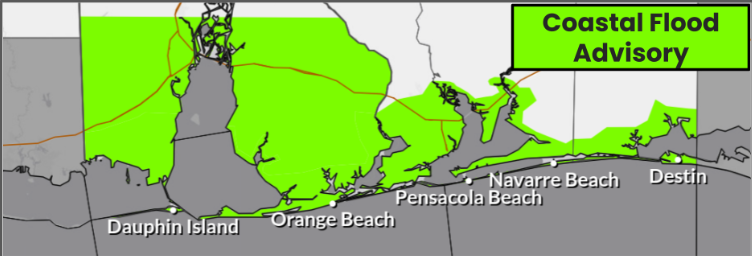
A Coastal Flood Advisory is also in effect from midnight tonight through 8 a.m. Sunday for Coastal Alabama and northwest Florida. Due to higher-than-normal high tides following onshore winds, minor coastal flooding could affect some low-lying roads, parks, and other locations.
More Rain Is Still Ahead
The main concern through Sunday is the continued potential for heavy rain in Coastal Alabama, as well as flash flooding.
Dangerous Rip Currents Continue
Beachgoers also need to be aware of dangerous rip currents. A High Rip Current Risk remains in effect through Monday evening for coastal Alabama.
Rip currents can pull even strong swimmers away from the beach and into deeper water. If you’re caught in one, don’t try to swim directly against the current.